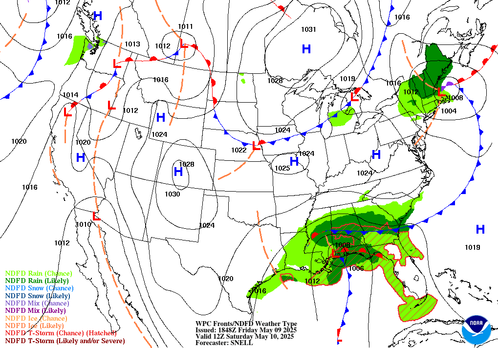
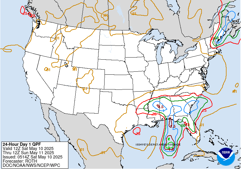
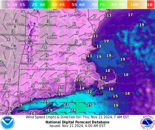
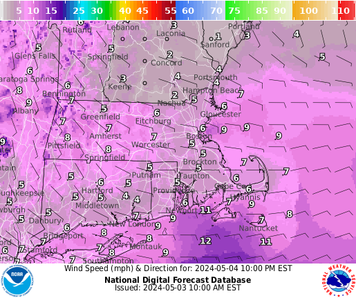
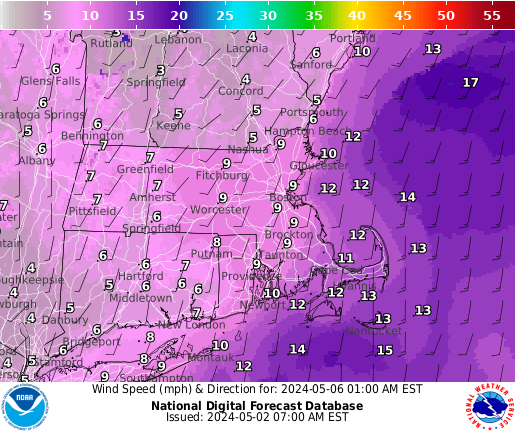
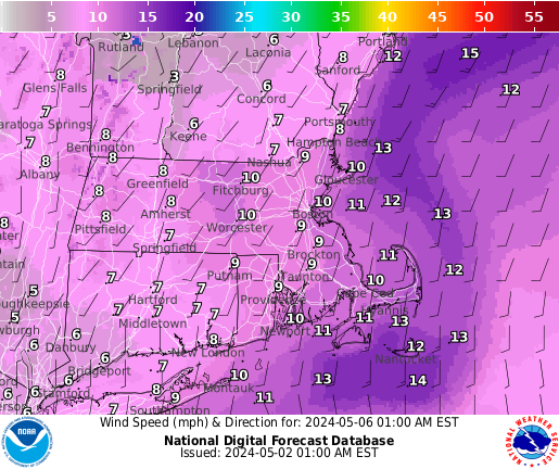
Low pressure tracks well south and east of New England through Saturday as high pressure builds in from the north. This will bring drier conditions but cool temperatures as a persistent NE wind prevails. Continued cooler than normal Sunday with hit or miss showers as an upper low slides through. There could be some small hail/graupel in any more vigorous showers. Milder next week but an unsettled pattern persists through midweek.
Near Term
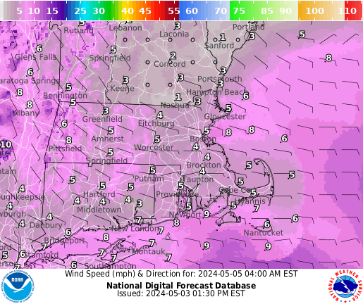
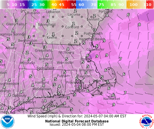
UNTIL 6 AM THIS MORNING
1010 PM update...
Cloud cover starting to diminish across the interior late this evening. Given somewhat drier air in mid levels moving in overnight as mid level trough slides to the south and east, expect partly cloudy skies overnight for the aurora viewing, but low level moisture may lead to more cloud cover across SE MA and the Cape/Islands. Period of radiational cooling should allow lows to drop to the upper 30s to lower 40s..
Short Term
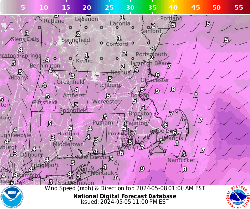
6 AM THIS MORNING THROUGH 6 PM SUNDAY
The forecast for Saturday looks better than it did a few days ago as guidance has converged on a weak mid level ridge keeping things dry. The exception would be a spot shower over eastern MA thanks to moisture off the ocean and cooler temps aloft but vast majority will stay dry. It will be a similar setup to today in that we'll have cool NE flow at the surface bringing scattered to broken cloudcover moving in while mid and high clouds stream in aloft from the opposite direction. Thus, expect a mix of clouds and sun but continued northeast flow keeps highs cooler than normal for mid May, in the mid 50s (east) to mid 60s (CT valley). Overnight cloudcover increases ahead our next shortwave over NY. However, forcing is quite weak and so while cyclonic flow with the cold pool overhead will drive some showers, they will be widely scattered and should hold off until toward daybreak, mainly over the interior where orographic lift will provide some additional lift..
Long Term
SUNDAY NIGHT THROUGH FRIDAY
Highlights
* Hit or miss showers/storms on Sun. Graupel/small hail possible with any stronger storms.
* Dry for much of Mon with a return of seasonable temps.
* Unsettled late Mon into midweek with a frontal boundary sliding through. Still have considerable uncertainty in how exactly things evolve.
* Turning drier late in the week.
Sunday...
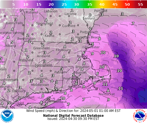
A trough/cutoff will be situated over the eastern Great Lakes/Mid Atlantic on early Sun. The cutoff rotates northeastward into New England by late on Sun. This slides into the Gulf of ME/Nova Scotia by early Mon. A broad low will be in place nearby or over the region on Sun before shifting offshore Sun Night.
This is our next shot for somewhat widespread hit/miss showers along with isolated thunderstorms.
Do not have a whole lot of moisture to work with as EPS/NAEFS situational awareness tables indicating that PWATs are around -0.5 to -1 STD below model climo. This translates to PWATs roughly around 0.5". Though we do have anomalously low 500 hPa height overhead (-2 STD per both SATA tables). The 500 hPa trough/cutoff overhead is also quite cold with temps of -20 to -25 degrees Celsius. This in combination with diurnal heating should result in a fair amount of cloudiness. Given the cold core in place and up to 100 J/kg of MUCAPE could result in some graupel/small hail if any more vigorous activity can develop. The mid level lapse rates are around 5-7 degrees Celsius with low level lapse rates around 5-8 degrees Celsius. Though these lapse rates really depend on the model being viewed, so there is considerable uncertainty given the weak forcing.
Deep layer shear in the 0-6 km layer is quite low at this point, so not anticipating any strong/severe storms. Though again, given the environment think there could be some small hail pending how much instability is in place.
High temperatures range from the mid 50s to the low 60s, with the coolest readings along the immediate coastline.
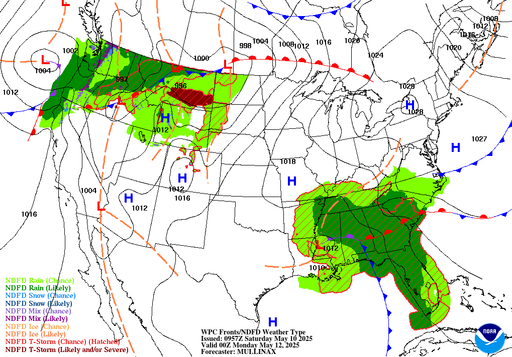
Monday through Wednesday...
Still caught under cyclonic flow through this timeframe with a cutoff in place over Quebec/Ontario/Hudson Bay. A ridge axis flattens out as it is building into the Mid Atlantic on Mon. A shortwave begins lifting in Tue and behind it a deeper trough may slide in for Wed. A weak high nudges in for much of Mon before a frontal boundary sneaks in late in the day.
The front continues to slowly work its way in/through on Tue/Wed.
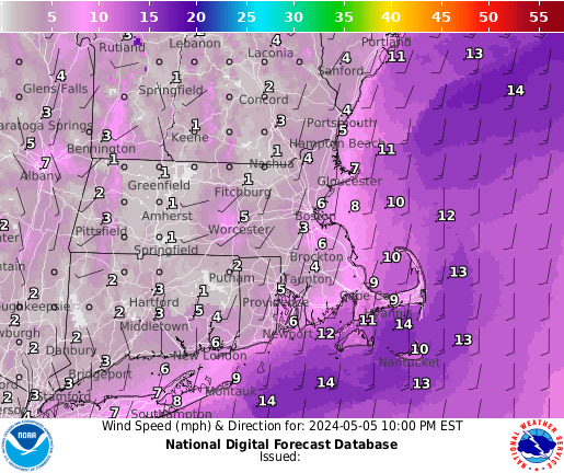
Not much of a change from 24 hours ago. Dry and quiet weather anticipated for much of Mon as high pressure nudges in from offshore of the Mid Atlantic. The high may shunt far enough southeast later in the day that spotty light showers begin leaking in from NW to SE Mon afternoon/evening. Though there is a lot of discrepancy here amongst guidance, so have just stuck with the NBM at this point. Temperatures will rebounding nicely (compared to the weekend) as we get southwesterly warm air advection with 7-9 degree Celsius 925 hPa temps. Highs will be around seasonable levels, ranging from the upper 50s across the Cape to the 60s elsewhere.
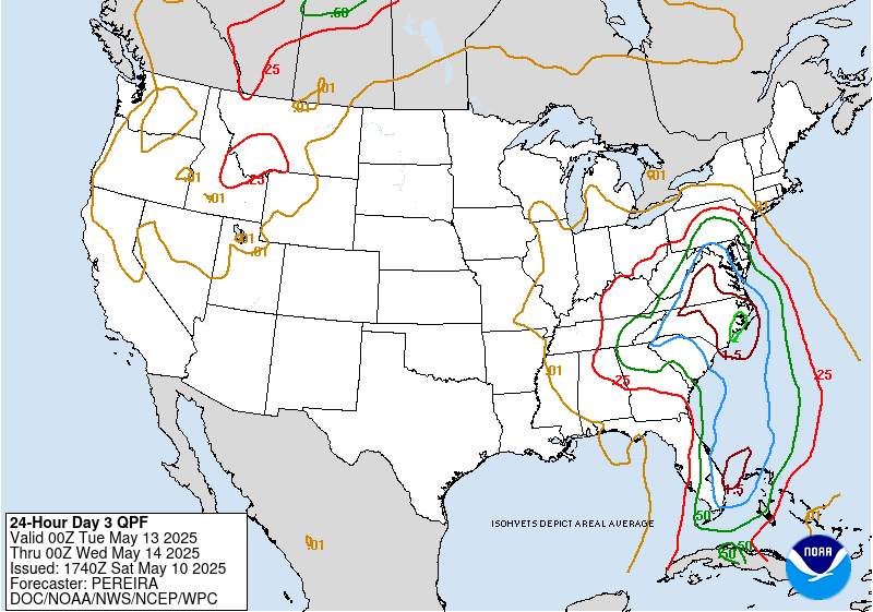
The front will still be overhead and perhaps working its way through late Tue/Wed.
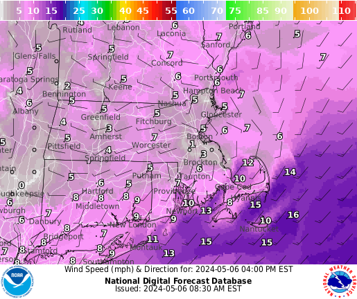
Though there is uncertainty in how things evolve as a deeper low rides along the front. This brings us shot for some heavier rains, especially late Tue and Wed. Ensemble guidance at this point indicating that there are low to moderate (10-40 percent) probs of 24 hr QPF AOA 1 inch. These probabilities are highest generally along the south coast with fairly good agreement from the GEPS/EPS guidance. The GEFS is more solidly in the low prob category. Both the GEPS/EPS also show low probs of 24 hr QPF AOA 2 inches, while the GEFS shows none. Given there could be a few hundred J/kg of MUCAPE, so the thunder risk would bring the potential for locally heavier rainfall. A 1-1.5 inch PWAT plume impinges on the region, especially late Tue/Wed and given we've got 3-3.5 km warm cloud layer depth there could be efficient warm rain processes going on.
Something to monitor as we get closer, but the PWATs are only 1-1.5 STD above model climo at this point per the NAEFS/EPS.
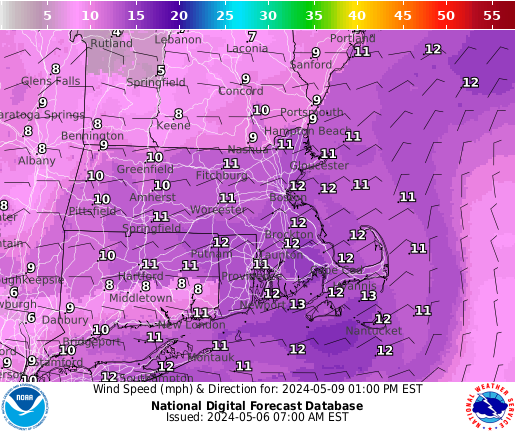
Should see temperatures continue to climb on Tue. May actually get another day of some dry weather if the front holds off coming in until late. Could see 925 hPa temps under S/SWly flow climb to 10-15 degrees Celsius. The result will be readings in the low/mid 70s and could start feeling a bit more muggy out with dews in the mid to perhaps upper 50s. Temps return to more seasonable levels on Wed given the cloudiness in place.
Late in the week...
A ridge axis builds into the OH Valley/Great Lakes region early on Thu. The ridge builds into the Mid Atlantic/eastern Great Lakes by late in the day.
The ridge may begin sliding offshore on Fri. High pressure builds into the region during this period.
Dry and quiet weather anticipated through this timeframe. Mass fields in decent agreement on Thu, but are more spread out by Fri. Have a bit more confidence in the temp forecast for Thu as opposed to Fri. There are some hints we could see more of an onshore wind component. For now the NBM guidance looks quite reasonable, so have stuck with it. Highs range from the 60s to mid 70s..
Aviation
Forecast Confidence Levels:
Low - less than 30 percent. Moderate - 30 to 60 percent. High - greater than 60 percent.
Through 12z...
VFR at all terminals except for ACK where MVFR ceilings linger. Could see a spot shower there through 08z.
Today...High confidence.
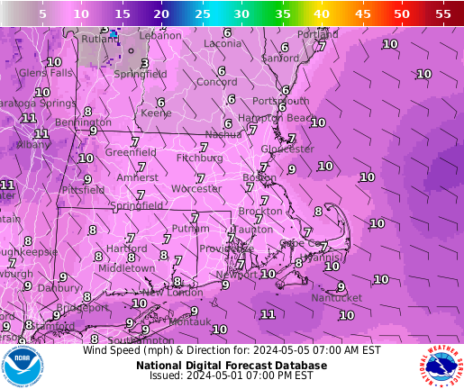
VFR cigs across the region, but MVFR persists at ACK and may also have a period of MVFR cigs at HYA. E-NE winds 10-20 kt, gusts to 25 kt at ACK.
Tonight...Moderate confidence.
VFR cigs, but MVFR may develop across the CT valley and Cape/Islands late tonight. Light winds.
Sunday...Moderate confidence.
Mainly VFR cigs, but areas of MVFR and scattered showers possible across western MA/CT. SE wind 5-10 kt with sea breezes developing.
KBOS TAF...High confidence in TAF.
KBDL TAF...High confidence in TAF.
Outlook /Sunday Night through Wednesday/...
Sunday Night: VFR.
Monday: VFR. Breezy. Slight chance SHRA.
Monday Night: Mainly VFR, with local MVFR possible. Breezy. Slight chance SHRA.
Tuesday: VFR. Breezy. Chance SHRA, isolated TSRA.
Tuesday Night: Mainly VFR, with local IFR possible. Breezy. SHRA likely, isolated TSRA.
Wednesday: MVFR/IFR conditions possible. Breezy. Chance SHRA, isolated TSRA.
Marine
Forecaster Confidence Levels:
Low - less than 30 percent. Medium - 30 to 60 percent. High - greater than 60 percent.
Through Saturday night...
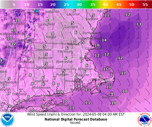
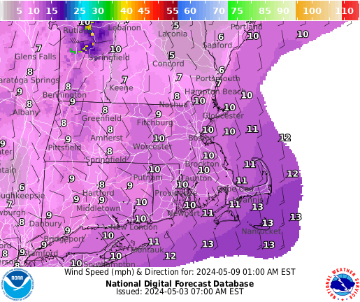
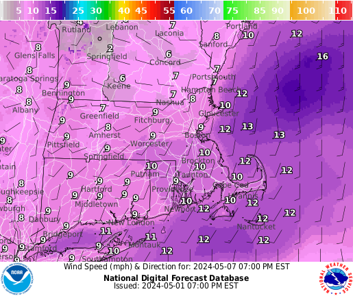
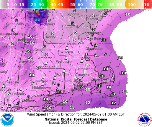
Low pres tracking south and east of the waters will bring NE winds 10-20 kt with occasional 25 kt gusts over southern waters through Sat night with seas building to 5 ft. Extended the SCA for outer southern waters through Sat night for southeastern waters.
Outlook /Sunday Night through Wednesday/...
Sunday: Winds less than 25 kt. Areas of seas approaching 5 ft. Slight chance of rain showers.
Sunday Night: Winds less than 25 kt. Areas of seas approaching 5 ft.
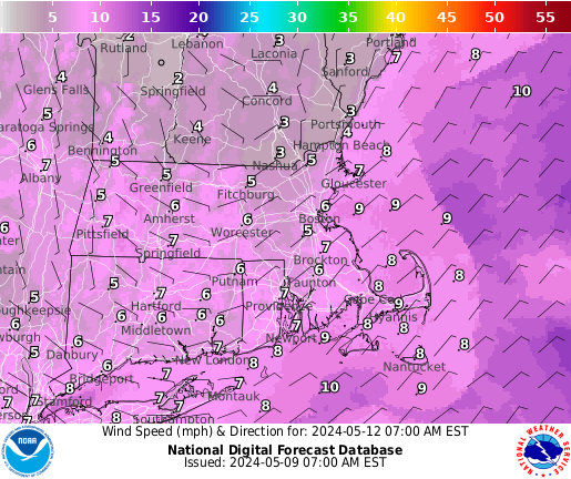
Monday: Winds less than 25 kt. Seas locally approaching 5 ft.
Monday Night: Low risk for Small Craft Advisory winds with gusts up to 25 kt. Areas of seas approaching 5 ft. Slight chance of rain showers.
Tuesday: Moderate risk for Small Craft Advisory winds with gusts up to 25 kt. Seas up to 5 ft. Slight chance of rain showers.
Tuesday Night: Moderate risk for Small Craft Advisory winds with gusts up to 25 kt. Seas up to 5 ft. Rain showers likely, isolated thunderstorms.
Wednesday: Low risk for Small Craft Advisory winds with gusts up to 25 kt. Seas up to 5 ft. Rain showers likely, isolated thunderstorms.